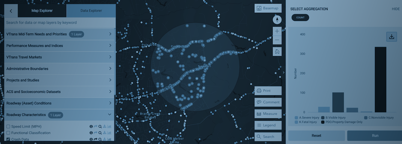
MapExplorer Tutorial
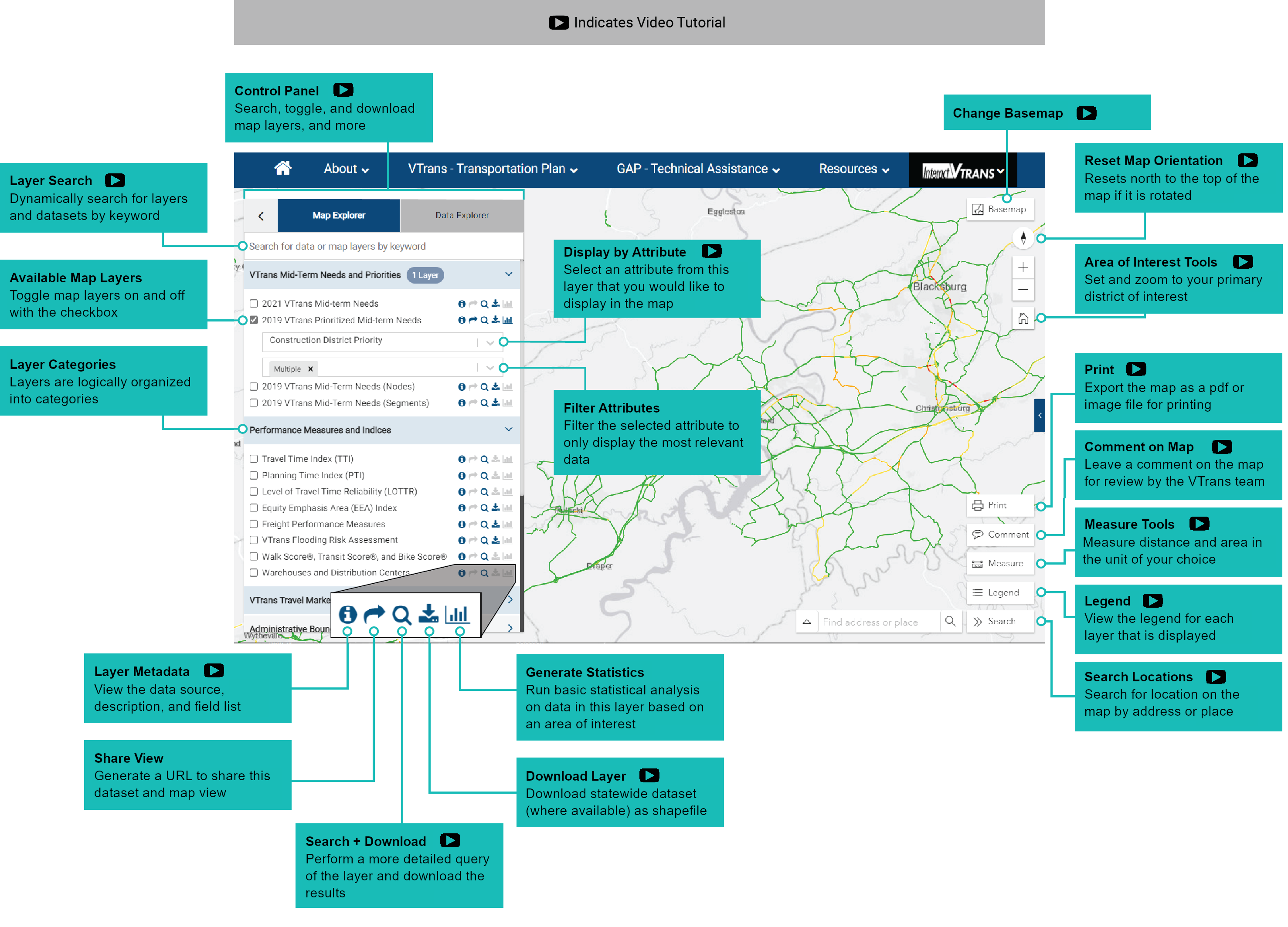
MapExplorer is VTran’s map-based application for viewing and downloading location-specific information, generating statistical graphs based on spatial data, and sharing map views. Below you will find a quick start guide and video tutorial explaining how to use MapExplorer.Quick Start Guide
How To...
Below you will find short videos demonstrating how to perform common tasks in MapExplorer.
To view all videos as a playlist, click here.
View different fields in a layer
Learn how to use MapExplorer to view different fields available in a map layer and display exactly what you’re looking for. Each MapExplorer layer contains multiple fields. This function makes it easier to view, for example, just safety needs.
Download a dataset
Learn how to download an entire dataset from MapExplorer.
Download a part of a dataset, such as a city or county
Learn how to search a dataset by an area of interest, filter the dataset to meet your needs, and download.


